GIS (Geographical Information System) Mapping
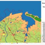
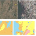
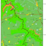
A GIS is any of various software applications, running on PCs or workstations that store, analysis, and displays multiple layers of geographical information. Whereas GIS can display map on computer screen, it can also provide details information about topographic and man-made features. The computer can quickly search and analyze these map features and their attributes in way that are not possible with traditional paper maps.
In simplest terms, a GIS can be thought of as a spatial database. It means that discrete geographical locations on the earth surface can be store in computer file as sets of mathematically coordinates. Today GIS is used by numerous departments and agencies because it provides a platform to store, manage, and analyse geospatial data.
Aiming at the requirements of GIS, we are providing the following services.
- GIS Base mapping.
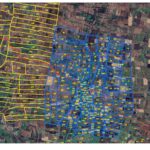
- Parcel mapping.
- Cadastral mapping.
- Spatial database management.
- Cartographic data collection.
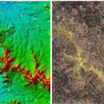
- Digital Elevation Model (DEM).
- Digital Terrain Model (DTM).
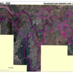
- Google mapping/overlay.
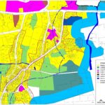
- Land use/Land Cover mapping.
- Data creation and integration.
- Geo referencing /Geo Coding.
- GIS data conversion.
- GIS consultancy.
- Land Base mapping.
- AM/FM mapping.
- GIS training.
- Data analysis and report generation.
- LIS mapping.
- Thematic mapping.
