

Who We Are
At “Geoinfo Mapping Solution” we specialize in providing comprehensive surveying and Geo-spatial mapping solutions designed to meet the diverse needs of clients across India. With a focus on precision, efficiency, and innovation, we are dedicated to delivering superior results that empower our clients to make informed decisions.
We have a team of highly experienced and qualified Surveyors, Engineers, Environment Experts, Land & Legal consultants, & Geospatial specialists who are well-versed in new state-of-the-art technologies in digital mapping and analysis technology. We strive to provide value-added, cost-effective quality services, Implementation solutions and consultancy to our reputed clients that will meet customer needs. Furthermore, we offer our best services in the mentioned fields, and we can provide a full one window service to government, semi-government, private and corporate offices. We have never been known to compromise on the quality of our service. In addition, we supply spatial data to various sectors, industries.
Why Choose Us?
Expertise: Our team consists of highly skilled professionals with diverse backgrounds in surveying, mapping, geospatial analysis, and engineering. With years of industry experience and a commitment to continuous learning and innovation, we have the expertise to tackle even the most complex projects with confidence.


Technology: We invest in the latest surveying equipment, mapping software, and geospatial technologies to ensure the accuracy, efficiency, and reliability of our services. From high-precision GPS and total stations to LiDAR scanners and advanced GIS software, we leverage the right tools for the job to deliver superior results.
Collaborative Approach: We believe in building strong partnerships with our clients, understanding their unique needs and goals, and working together to develop customized solutions that meet and exceed expectations. Our collaborative approach ensures that projects are completed efficiently, cost-effectively, and to the highest standards of quality.


Commitment to Quality: Quality is at the heart of everything we do. We adhere to rigorous quality assurance processes and industry best practices to ensure that our deliverables are accurate, reliable, and actionable. Whether it’s conducting thorough field surveys, analyzing complex data sets, or producing detailed maps and reports, we are committed to delivering results that our clients can trust.
Our Services
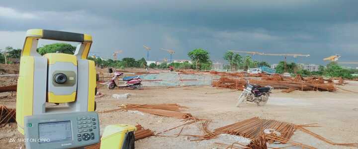
Land Surveying
Our experienced team utilizes advanced surveying techniques to accurately measure and map land parcels, capturing essential data such as boundaries, easements, and land features. Whether it’s for property development, infrastructure projects, or land management, our land surveying services provide the foundation for successful planning and decision-making.
Topographic Surveying: We excel in capturing detailed information about the natural and man-made features of a landscape, including elevation, contours, vegetation, and infrastructure. Our topographic surveys are essential for engineering design, environmental assessment, and resource planning, enabling clients to navigate complex terrain with confidence.

GIS (Geographical Information System) Mapping
Leveraging the power of Geographic Information Systems (GIS), we create interactive maps and spatial databases that enable clients to visualize, analyze, and interpret geographic data. From urban planning and transportation modelling to environmental monitoring and emergency response, our GIS solutions support a wide range of applications, providing valuable insights for decision-makers.
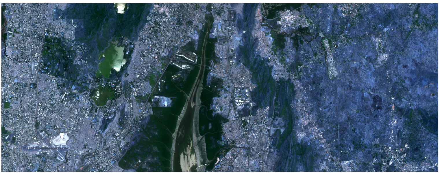
Remote Sensing Mapping
With one of the most experienced Remote Sensing expert teams, we provide clients with result-oriented solutions in data provision, developing and implementing spatial data for project applications and effective management. We also Services provided include processing of raw satellite images, image rectification, change detection, and analysis from various high and low resolution satellite imageries like Quic bird, Landsat, cartosat, Liss IV etc and for specific applications.
Aerial Mapping: Using state-of-the-art drone technology and photogrammetry techniques, we capture high-resolution aerial imagery and create detailed maps and 3D models of landscapes, infrastructure, and construction sites. Our aerial mapping services offer a cost-effective and efficient way to gather accurate geospatial data, providing valuable insights for planning, monitoring, and decision-making.


Completed key projects
| Sr. No. | Project Details | Units | |||||||||||||||||||||||||||||||||||||||||||||||||||||
|---|---|---|---|---|---|---|---|---|---|---|---|---|---|---|---|---|---|---|---|---|---|---|---|---|---|---|---|---|---|---|---|---|---|---|---|---|---|---|---|---|---|---|---|---|---|---|---|---|---|---|---|---|---|---|---|
|
1 |
GIS & Remote Sensing base feasibility study for solar energy project at Bikaner, Jaisalmer, Baap, and Jodhpur in Rajasthan State. |
6600 Acres Approx. |
|||||||||||||||||||||||||||||||||||||||||||||||||||||
|
2 |
Drone survey at Kelavali village, Khopoli, District Raigad. |
200 Acres |
|||||||||||||||||||||||||||||||||||||||||||||||||||||
|
3 |
Consultancy service of geotagging tree survey for processing and preparation spatial database in ARCGIS/QGIS software. |
2 Lakh Tree Approx. |
|||||||||||||||||||||||||||||||||||||||||||||||||||||
|
4 |
Consultancy service for preparation property tax register based on GIS and revenue survey with technical handholding support in Madhya Pradesh. |
16 Towns |
|||||||||||||||||||||||||||||||||||||||||||||||||||||
|
5 |
Topographical (Total Station & DGPS) survey of all government roads within G North and A ward in Mumbai Corporation region. |
100 Km Approx |
|||||||||||||||||||||||||||||||||||||||||||||||||||||
|
6 |
GIS & Remote Sensing-based water logging study for Malia wind firm project at Morbi, Gujrat. |
20 WTG, 225 Sq. Km.225 Sq. Km. |
|||||||||||||||||||||||||||||||||||||||||||||||||||||
|
7 |
Preparation of computerized soft copy of existing Development Plan map using GIS /CAD technology. |
1 Nagar Parishad in Maharashtra state |
|||||||||||||||||||||||||||||||||||||||||||||||||||||
|
8 |
To collect information about Administration boundaries, government properties, water, sewer, and existing road network, electrical assets and prepare QGIS maps for PM Gati Shakti National Master Plan for Multi Model Corridor. |
2 Nagar Parishad in Maharashtra state |
|||||||||||||||||||||||||||||||||||||||||||||||||||||
|
9 |
POI data Collection using Mobile App. |
5000 Landmarks |
|||||||||||||||||||||||||||||||||||||||||||||||||||||
Industry

Renewable energy
Solar/ Wind energy replacing conventional non-renewable energy has been widely implemented around the world. Currently,

Industrial/Warehouses
Survey and Land Feasibility is initial important the process of identifying and selecting the best location or site for a specific requirement.

Agriculture
As we know, the population of the India will increase continuously. Due to this expected growth, there is pressure throughout the country for higher agriculture production & reliable crop status information.


Achievements
Field data verification
Land survey
Road survey
GIS base map
GIS database
3D modelling
Remote Sensing study.
Web-based data search & data entry
Field data collection using mobile application
Photography for real estate projects
Geotagging trees survey
Property tax register based on GIS and Revenue survey